
Friday Evening Update January 23 2026
The storm has formed and is taking shape with ice expanding across Texas. To say this is historic is not an exaggeration. Besides being our first big winter storm in 10 years, there are 40 states and over 1,300 Counties that had a warning or advisory as a result of this track towards the East Coast.
In this report we will look at the broad view of this storm, all the warnings, and a closer look at the expected timeline.
Headlines For Us
- Sunday Our Storm Focus
- Snow will arrive AFTER midnight, with heavy snow Sunday at sunrise.
- Sleet and Freezing Rain will mix in from the south during the morning.
- Ice on top of snow will result in breaking tree branches and power outages.
- Metro Baltimore is expected to mix to sleet and freezing rain during lunch time.
- Northern and Western Suburbs will hold the deep cold longer. This will result in high totals in the typical areas.
- Temperature remain below freezing through the event and all of next week.
- I still believe schools will be affected Monday and very possibly Tuesday .
- On a personal note, my forecast has remained pretty consistent, and I will share the timeline and totals below. I hope my information (when my website is available) has been easy to digest and you get what you expect from my reports.
Winter Storm Alerts Across The Nation
Friday Night Storm Map
Arctic Air Arriving: Cold air is surging south from Canada through the Great Lakes and into the Mid-Atlantic. This frigid air mass will be in place when the storm arrives, ensuring snow for our region.
The Storm Is Building: Look at the Southern Plains! A large storm system is producing snow across Colorado and Kansas, ice across Oklahoma and northern Texas, and rain to the south. This entire system will track northeast toward us.
Snow, Ice, Rain Layering: The classic winter storm setup is visible — snow on the cold side (north), an ice band in the middle, and rain on the warm side (south). The position of this layering as it reaches the Mid-Atlantic will determine our precipitation type Sunday.
Tracking Toward Us: This system will arrive late Saturday night into Sunday, bringing our Winter Storm.

Storm Forecast Saturday Morning To Monday Morning
Closer look and timeline snapshots below.

Local Look
Local Weather Alerts
Cold Weather Advisory
Arctic Air has made the move into our region and a rare Cold Weather Advisory plus Freezing Spray Advisory on The Chesapeake Bay are in place through Saturday morning.

Winter Storm Warning
This storm will bring us a dangerous mix of heavy snow, sleet, and freezing rain. Some in our region may stay all snow, while others will get heavy snow with heavy ice on top. The southern part of our region will start with snow then get an ice storm. The combination will can add 1,000 pounds of weight to trees and break branched or power lines.
So yes, it is a big deal!

Let’s Get Right To It
Here is my forecast map and supporting data from the European Model.
You can stop here if you want, or keep scrolling for the storm timeline. I will repeat these maps below.
My Updated Call For Snowfall
My only true change was lowering Central Maryland zone a notch to 5 to 10 inches of snow. This is based on my expectation for sleet and freezing rain to mix in a littler sooner.
Can this be wrong? YES!
Timing the warming and mixing will make or break the snow totals.
If it arrives later, then more snow will fall. Earlier, and the accumulation will cut off.

ECMWF Model Forecast Maps
Snow Total

Sleet Total

Freezing Rain Total

Storm Forecast Maps
Saturday Night
With High Pressure nearly overhead, the cold air will still be very dry! The initial snow on radar will take a few hours to saturate the atmosphere.

Sunday Morning
Heavy Snow should be full entrenched in our region. Snow may be falling at the rate of 1 to 2 inches per hour.

Sunday Morning
High Resolution HRRR Model now picks up the first part of this.
Animation Midnight to 1 PM Sunday.

Snapshots at 7 AM
Temperatures
Mid teens across most of the region as expected.
The initial snow will be dry, fluffy, and high rations.

Wind Forecast
The Northeast Wind will hold the cold.
Where the shift to the East builds, more warm air will mix in at cloud level to develop sleet and freezing rain.

Radar Simulation
Heavy snow expected to be falling at 1 to 2 inches per hour at daybreak.
The leading edge of sleet may be just south of Maryland.

1 PM Radar Simulation
Sleet may be mixing across metro Baltimore, Washington, and Annapolis during lunchtime.
The heavy snow zone will be affected my upper air warming and the flakes will NOT be as dry anymore. They will be more damp and pack easier. If you can make a snowball, that is a good sign of warming aloft.

1 PM Temperatures
Baltimore will still be in the lower 20s while warmer clouds will result in the icy precipitation.
Near the beaches, that Easterly wind will bring in temps above freezing, where just a cold rain will fall.

1 PM ECMWF Model
This is the challenge as Northern suburbs may remain just cold enough for longer duration snow and more accumulation.
Ice will be falling across much of Central and Southern Maryland.
Rain closer to the beaches.

7 PM ECMWF Model
Freezing rain will continue across Central area. This is where the heavy icing on top of the snow may become a problem for trees and power lines.
Where the snow continues to fall, higher totals are expected to top over 1 Foot.

1 AM Monday
This is the longer duration of the event from the storm now off the Coast.
The precipitation will continue for a few more hours.

7 AM Monday
The storm will be done for us, but schools and many business are likely to be closed for the cleanup.

7 AM Temperatures
It may feel like glacial expansion! Everything will be icy and we will remain below freezing all week.

REPEATING THE STORM TOTALS
My Updated Call For Snowfall
My only true change was lowering Central Maryland zone a notch to 5 to 10 inches of snow. This is based on my expectation for sleet and freezing rain to mix in a littler sooner.
Can this be wrong? YES!
Timing the warming and mixing will make or break the snow totals.
If it arrives later, then more snow will fall. Earlier, and the accumulation will cut off.

ECMWF Model Forecast Maps
Snow Total

Sleet Total

Freezing Rain Total

Subscribe for email Alerts
Weather posts straight to your inbox
Sign up and be the first to know!
FAITH IN THE FLAKES STORE
NOW OPEN FOR THE SEASON
click here

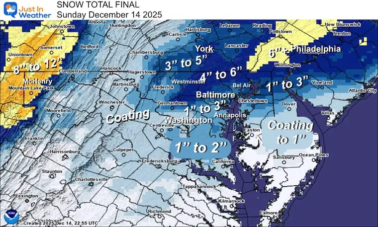
Snow Report December 14 and Grade My Forecast
In case you missed it, click this image for brief summary of the final snow totals from the last event.
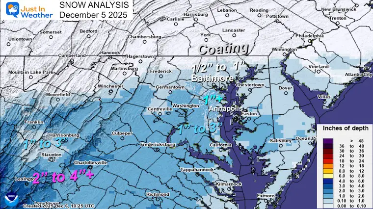
Snow Report December 5 to 6 and Grade My Forecast
In case you missed it, click this image for brief summary of the final snow totals from the last event.
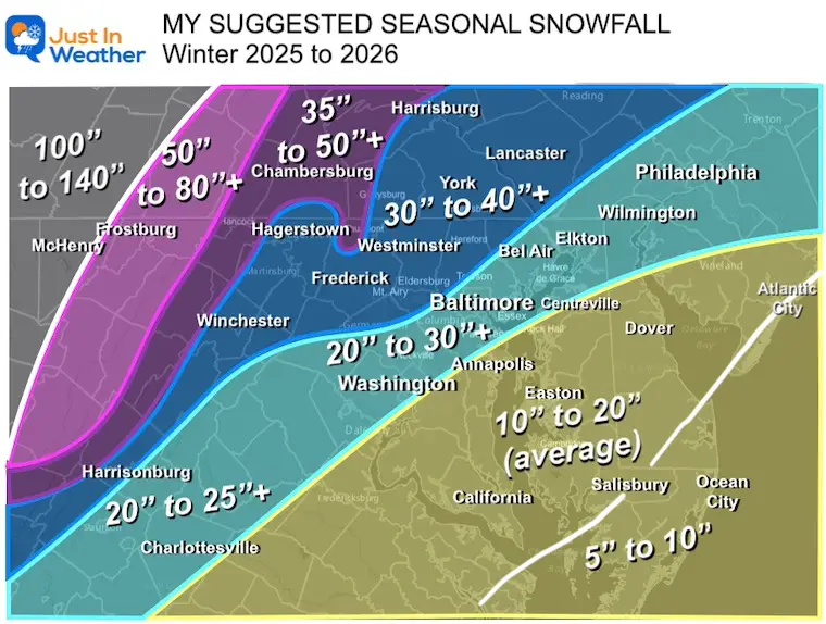
My Winter Outlook For Above-Average Snow
Click here for the full report
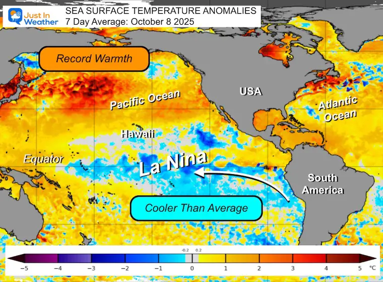
La Niña Advisory
This was issued October 9, as expected: A weak and short-lived event to start winter may play a different role this winter.
In Case You Missed It
Woolly Bear Caterpillar Winter Folklore
These are NOT all the same caterpillar!

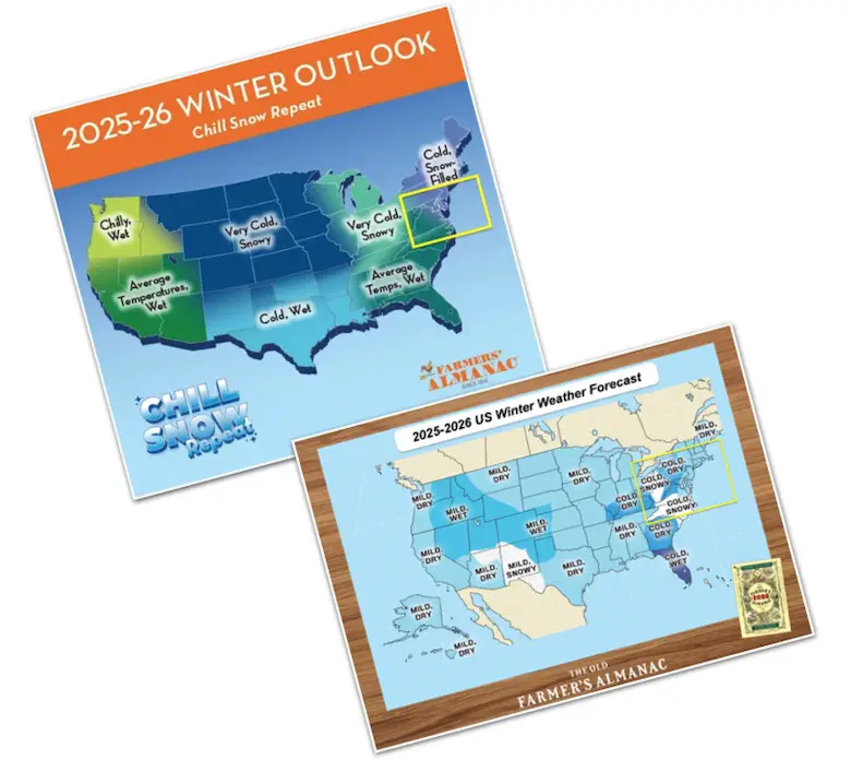
Winter Outlook From 2 Farmers’ Almanacs
STEM Assemblies/In School Fields Trips Are Back
Click to see more and ‘Book’ a visit to your school

THANK YOU:
Baltimore Sun Magazine Readers’ Choice Best Of Baltimore

Maryland Trek 12 Day 7 Completed Sat August 9
UPDATED: We raised OVER $170,000 for Just In Power Kids – AND Still Collecting More
The annual event: Hiking and biking 329 miles in 7 days between The Summit of Wisp to Ocean City.
Each day, we honor a kid and their family’s cancer journey.
Fundraising is for Just In Power Kids: Funding Free Holistic Programs. I never have and never will take a penny. It is all for our nonprofit to operate.
Click here or the image to donate:

RESTATING MY MESSAGE ABOUT DYSLEXIA
I am aware there are some spelling and grammar typos and occasional other glitches. I take responsibility for my mistakes and even the computer glitches I may miss. I have made a few public statements over the years, but if you are new here, you may have missed it: I have dyslexia and found out during my second year at Cornell University. It didn’t stop me from getting my meteorology degree and being the first to get the AMS CBM in the Baltimore/Washington region. One of my professors told me that I had made it that far without knowing and to not let it be a crutch going forward. That was Mark Wysocki, and he was absolutely correct! I do miss my mistakes in my own proofreading. The autocorrect spell check on my computer sometimes does an injustice to make it worse. I can also make mistakes in forecasting. No one is perfect at predicting the future. All of the maps and information are accurate. The ‘wordy’ stuff can get sticky. There has been no editor who can check my work while writing and to have it ready to send out in a newsworthy timeline. Barbara Werner is a member of the web team that helps me maintain this site. She has taken it upon herself to edit typos when she is available. That could be AFTER you read this. I accept this and perhaps proves what you read is really from me… It’s part of my charm. #FITF
Please share your thoughts and best weather pics/videos, or just keep in touch via social media.
Source link

