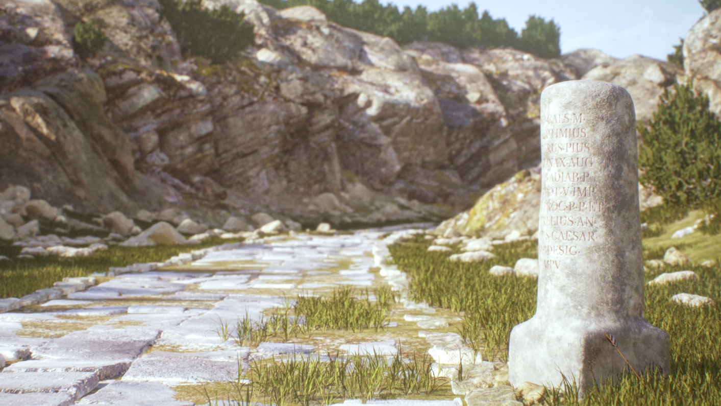
An international research team has created a new map of the Roman Empire — and it expands the ancient road network by more than 60,000 miles (100,000 kilometers).
The saying goes, of course, that “all roads lead to Rome.” But while it’s true that many of the Empire’s major cities were linked via main roads to the capital, the secondary roads in the network had not been studied in depth, said Tom Brughmans, an archaeologist at Aarhus University in Denmark and co-author of a study describing the roads that was published Thursday (Nov. 6) in the journal Scientific Data.
Brughmans and colleagues created a new digital atlas of Roman roads in Europe, the Near East and North Africa called Itiner-e to better understand the interconnections within the Roman Empire around its maximum extent in A.D. 150. The Itiner-e platform is open access and, according to the study, includes high-resolution spatial data on Roman roads derived from historical and archaeological information, topographic maps and remote sensing data.
The resulting map includes nearly 186,000 miles (300,000 km) of roads, twice what other maps have. And this immense road network speaks to the power of the Roman Empire.
“This massive, integrated network was a historical game-changer,” Brughmans said. “It meant for the first time, a plague, an economic boom, or a new religion could go ‘continental’ and reshape the world.”
One example Brughmans gives is the Antonine Plague, which erupted in A.D. 165 and devastated the Roman Empire, resulting in the deaths of possibly one-quarter of the population.
“By mapping the ancient roads that carried the Antonine Plague, we get a 2,000-year-old case study on the centuries-long societal impact of pandemics,” Brughmans said.
Itiner-e is a useful digital tool that will increase experts’ understanding of the Roman world, according to Jeffrey Becker, a Mediterranean archaeologist at Binghamton University in New York who was not involved in the study. The authors conducted a thorough review of the data to compile their road dataset, Becker told Live Science in an email.
But there are some gaps in the Itiner-e map, Becker said, which may be the result of the availability of data as well as the difficulty even experts have in recognizing various types of Roman roads in the archaeological record.
Brughmans said that the new dataset “includes nearly 200,000 km of secondary roads, but we expect this number can be increased significantly.” So Brughmans and colleagues see their new map as a “call to action,” showing other experts where historical gaps remain or where archaeological excavation is needed.
“We know there are many roads we still haven’t found yet.”


Watch On
Roman emperor quiz: Test your knowledge on the rulers of the ancient empire
Source link
-
-

-

-

-